
Activities & walking
On your bike.
With a sensible plan.
A short outing or a longer ride: three ideas for planning a day on two wheels.
The council maps are suggested routes, not live reports on trail conditions. Local signs and closures always take precedence.
This countryside looks different from a bicycle. You notice the little climbs, are more inclined to stop, and after a while feel that you have genuinely been somewhere. A lovely route description should, however, tell you where the ride actually begins.
That is why we do not describe supposedly measured circular routes straight from the house. Two of the suggestions below come from the council’s published maps and do not start here. The connection from Rågeboda needs planning separately.
The shorter idea
To Gylsboda.
And back again.
For a first ride, we would start small: Gylsboda as the destination, a break, then back along the same familiar route. If you would like to visit Sliperiet, check the programme beforehand. It saves accidentally turning a cycle ride into a study of a locked door.
The best way to discuss the precise route from the house is here, with an up-to-date map. We deliberately do not publish an unverified GPX track. Surfaced roads and permitted routes are not the same thing as every woodland track visible on a map.
Council route · around 33 kilometres
Svarta Bergen
and Tranetorp.
Osby Council publishes a suggested route of about 33 kilometres between Svarta Bergen and Tranetorp. This is the longer option for a day when the bicycle gets the starring role. The distance refers to that published circuit, not the journey from the Lake House to it and back.
Put the map on your phone, or a printed copy in your pocket, before setting off. Check the starting point, route and any changes; allow enough time for breaks and finding your way. We would not squeeze it into an afternoon with another fixed appointment waiting at the end.
A separate journey · around 21 kilometres
Around Osbysjön.
A different perspective.
To broaden your range, have a look at the published circuit around Osbysjön. The council map gives about 21 kilometres, starting in Osby. Arrange the journey there separately: this is expressly not a 21-kilometre circuit from Rågeboda.
The advantage of this combination is a clear route suggestion first, followed, if time allows, by a stop in town. Again, the older map is a basis for planning. Current signs determine whether a particular stretch is open to cyclists.
A considerate ride
Not every track
is a cycle route.
Protect wet and sensitive ground, give other people space and follow local rules. Nature reserves may have their own regulations. Off-road access for e-bikes is not automatically the same as for an unpowered bicycle; the Swedish Environmental Protection Agency explains this distinction explicitly.
An older council map for Gylsboda–Örnanäs even contains an express warning not to ride a particular section for the time being. We have therefore not presented that circuit as an unqualified, ready-to-go recommendation. A ride should be enjoyable, not depend on overlooking a warning in the small print.
Swedish Environmental Protection Agency: considerate cycling ↗
Our verdict
Better a suitable route with time for breaks than an impressive distance that only looks good on a screen.
Read on
More from the
Rågeboda Journal.
A day by the sea in Åhus
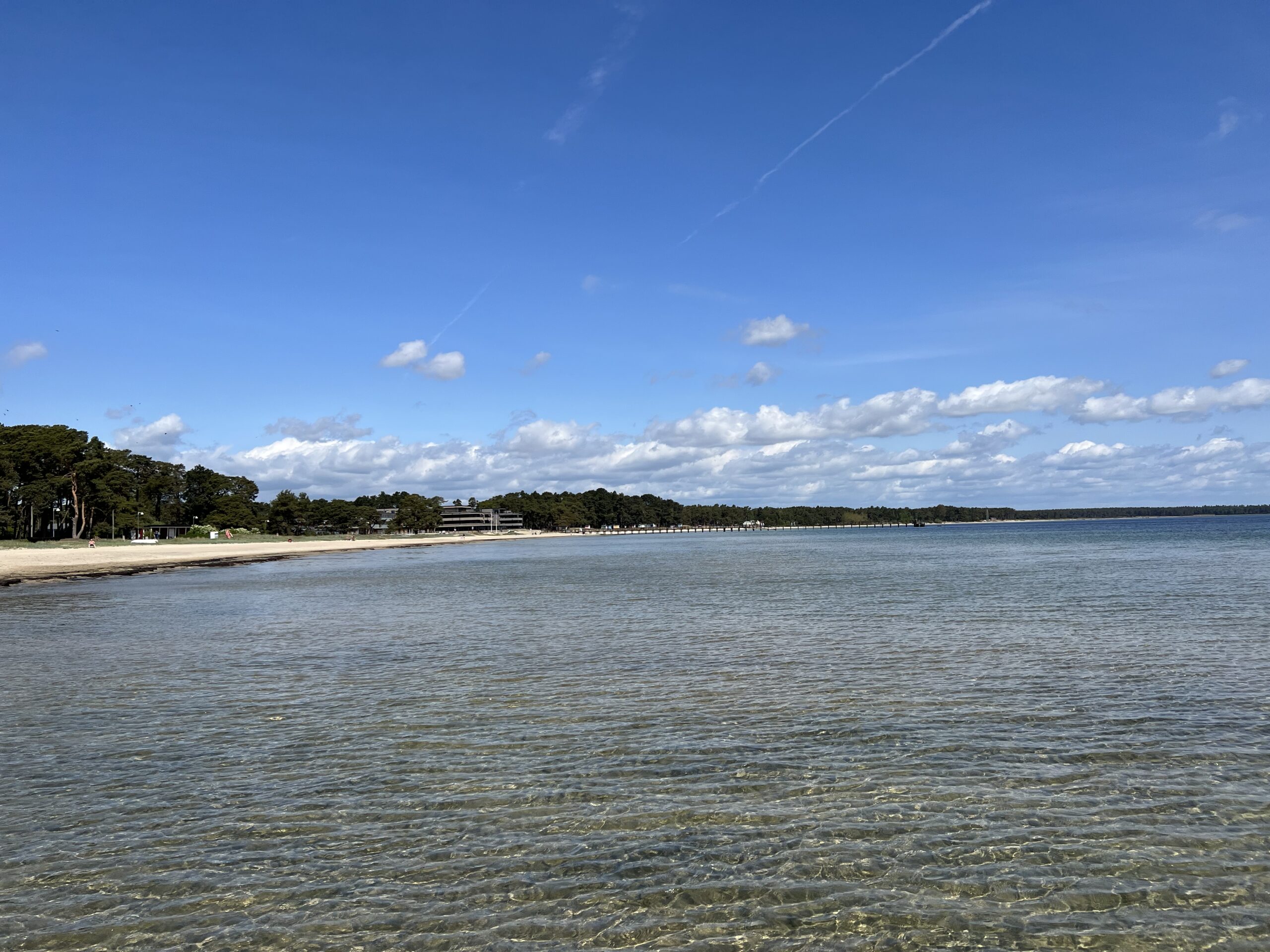
A morning in the little streets of the old town, bare feet on the long sandy beach at lunchtime, then fish overlooking the harbour. Åhus is close enough…
The best swimming spots near Lönsboda
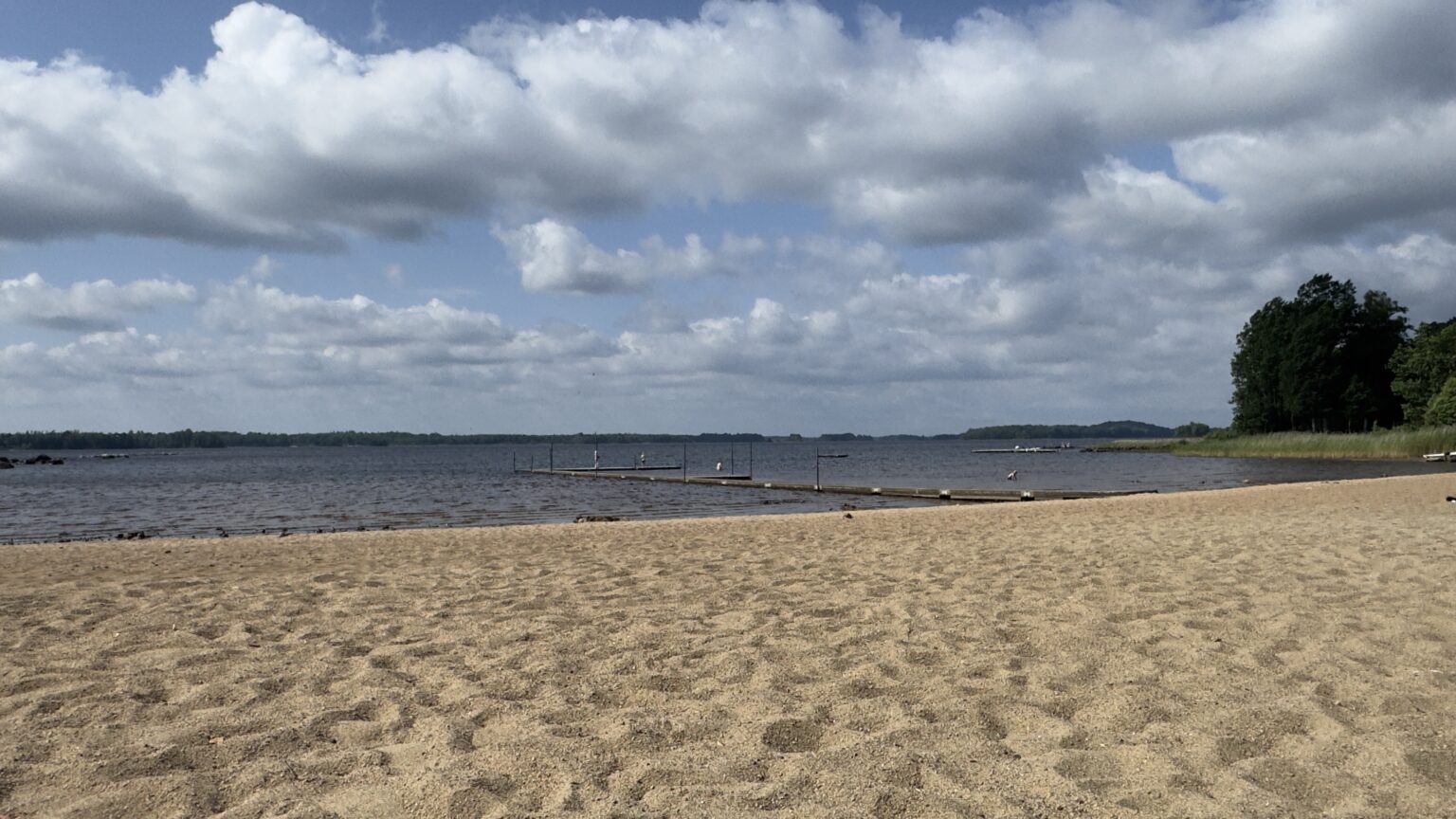
Gylsboda, Hjärtasjön, Breanäs or Möckeln? Our choice of swimming spots around Lönsboda, with tips for an easy-going day by the water.
What the name Rågeboda might tell us
What is in Rågeboda? A cautious look at Swedish place names and what we actually know.
Your stay in Rågeboda
This corner of Sweden
could feel like home.
Send us your preferred dates. We reply personally, usually within a day.